Vintage (1950s) Masonite Aerial Survey Target Sign From Maine.
Ground Control Marker. Ground Control Point. Land surveyors place these markers flat on the ground at precisely measured GPS coordinates. Aerial Photography & Mapping. High-Contrast, alternating orange and white checkerboard pattern is designed to be easily spotted and identified by airplanes, helicopters, or drones during fly-over photography. Mid 20th-Century. Pre-Drilled Mounting Holes.
Distress + discoloration present to surface. Holes For Hanging. Similar orange and white checkered patterns are also standard in aviation to mark airport ground construction hazards and service vehicles under FAA regulations. Small, hand-placed mounting holes at the points indicate it was meant to be staked down into the dirt for long-term mapping projects or bolted onto a vehicle or permanent post.
Measurements : 17” x 17” x .25”
Price Includes Shipping.
Vintage (1950s) Masonite Aerial Survey Target Sign From Maine.
Ground Control Marker. Ground Control Point. Land surveyors place these markers flat on the ground at precisely measured GPS coordinates. Aerial Photography & Mapping. High-Contrast, alternating orange and white checkerboard pattern is designed to be easily spotted and identified by airplanes, helicopters, or drones during fly-over photography. Mid 20th-Century. Pre-Drilled Mounting Holes.
Distress + discoloration present to surface. Holes For Hanging. Similar orange and white checkered patterns are also standard in aviation to mark airport ground construction hazards and service vehicles under FAA regulations. Small, hand-placed mounting holes at the points indicate it was meant to be staked down into the dirt for long-term mapping projects or bolted onto a vehicle or permanent post.
Measurements : 17” x 17” x .25”
Price Includes Shipping.
 Image 1 of 14
 Image 2 of 14
 Image 3 of 14
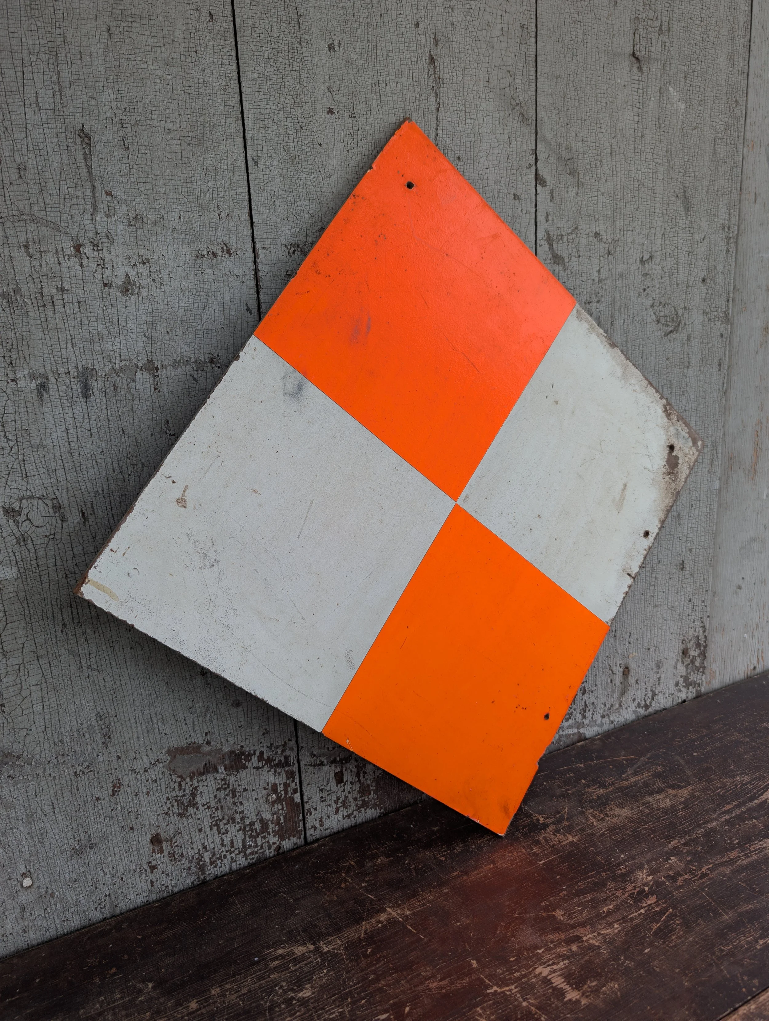 Image 4 of 14
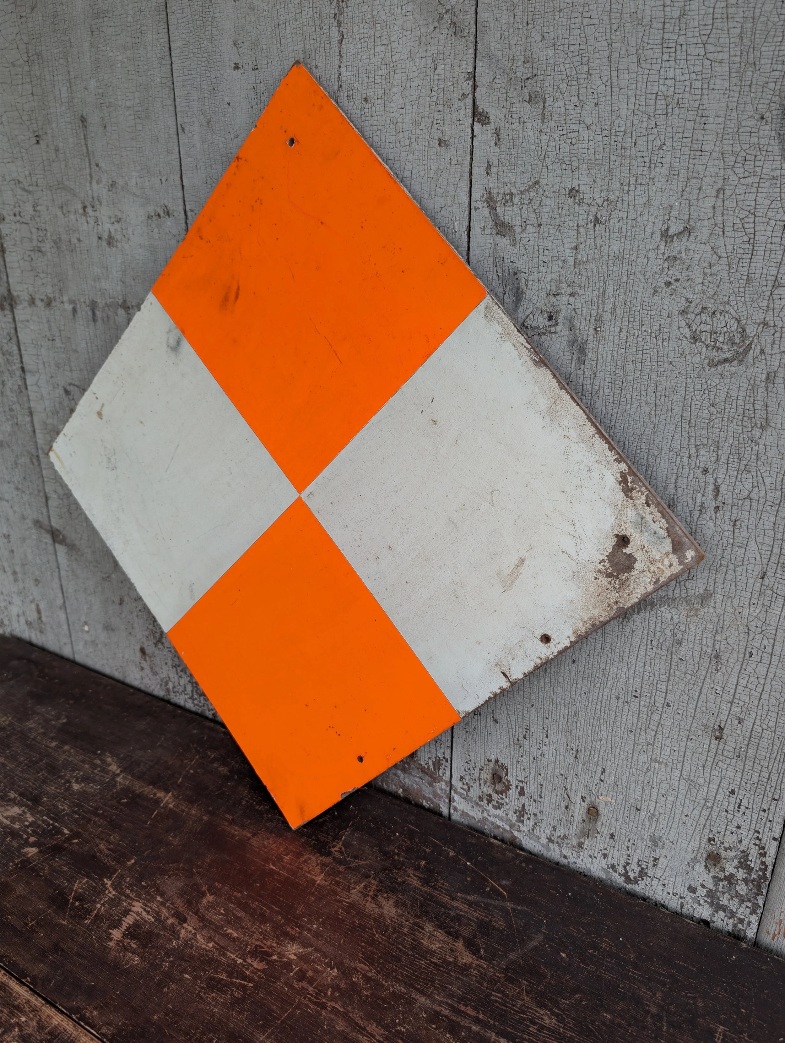 Image 5 of 14
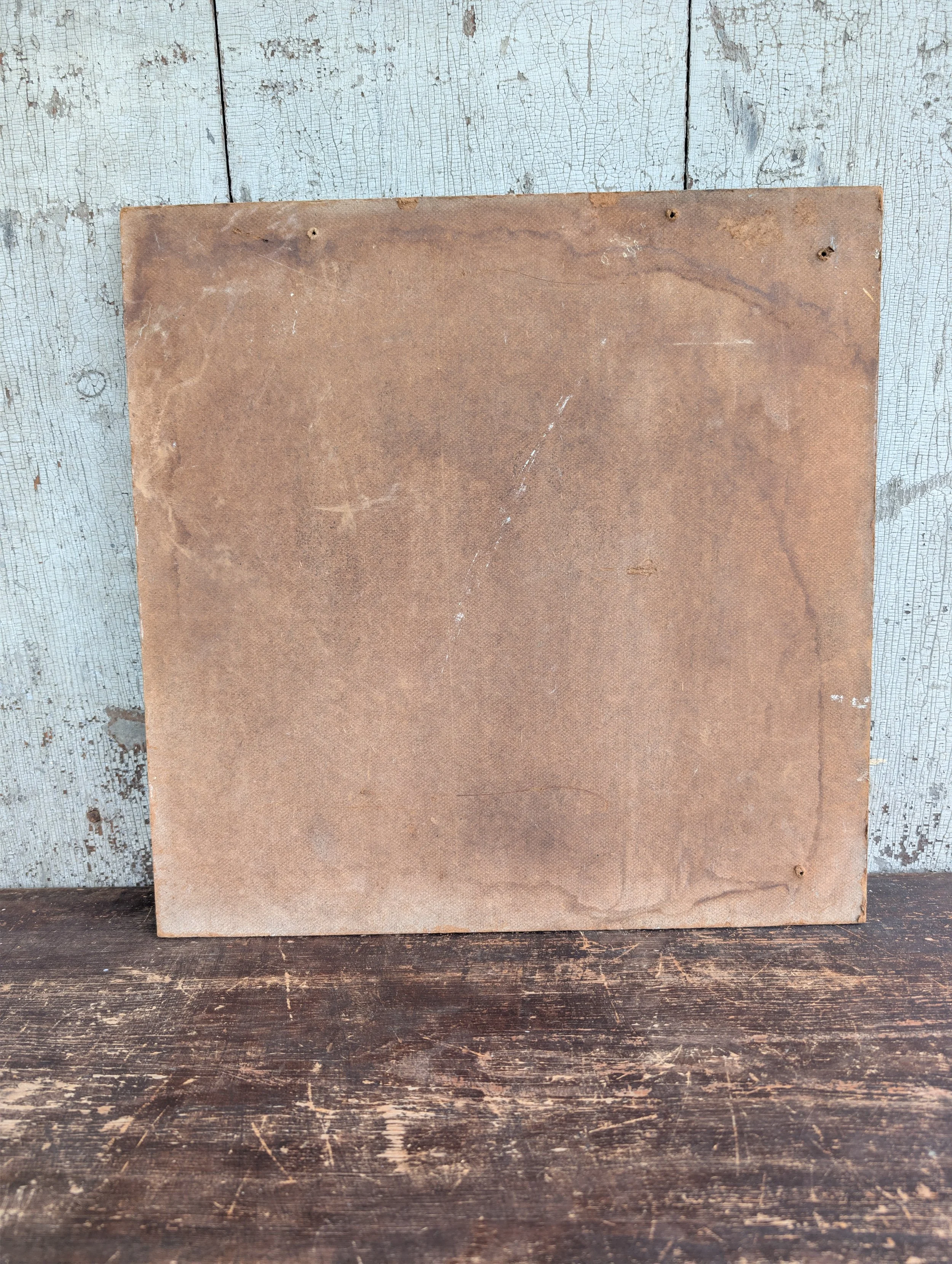 Image 6 of 14
 Image 7 of 14
 Image 8 of 14
 Image 9 of 14
 Image 10 of 14
 Image 11 of 14
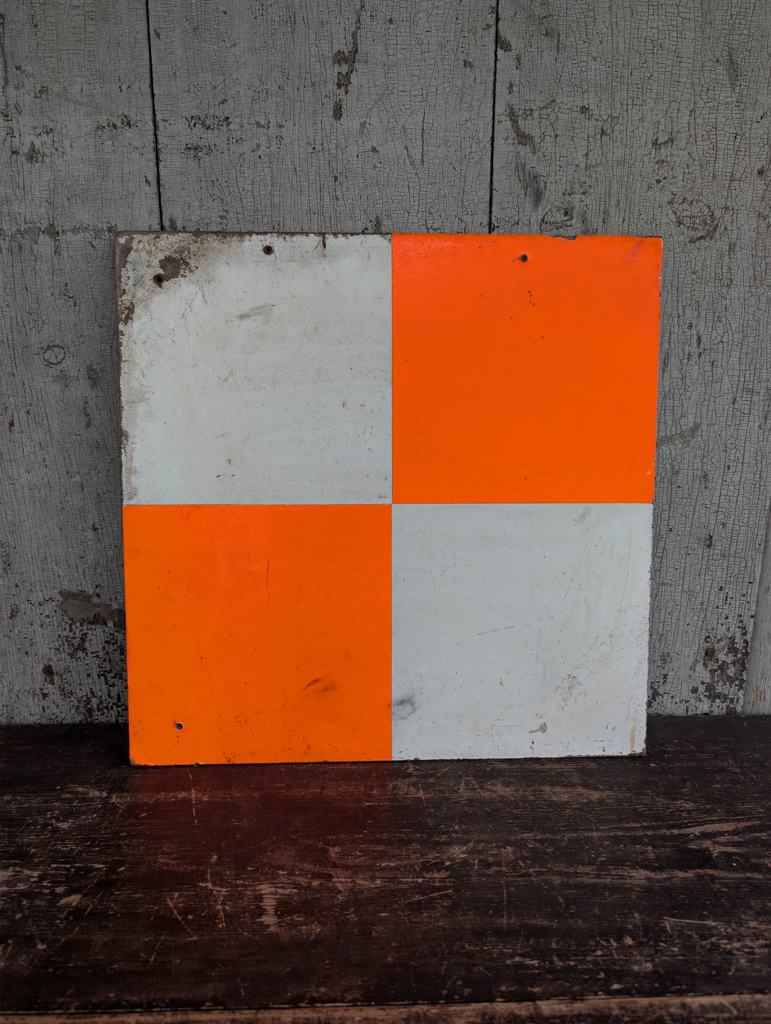 Image 12 of 14
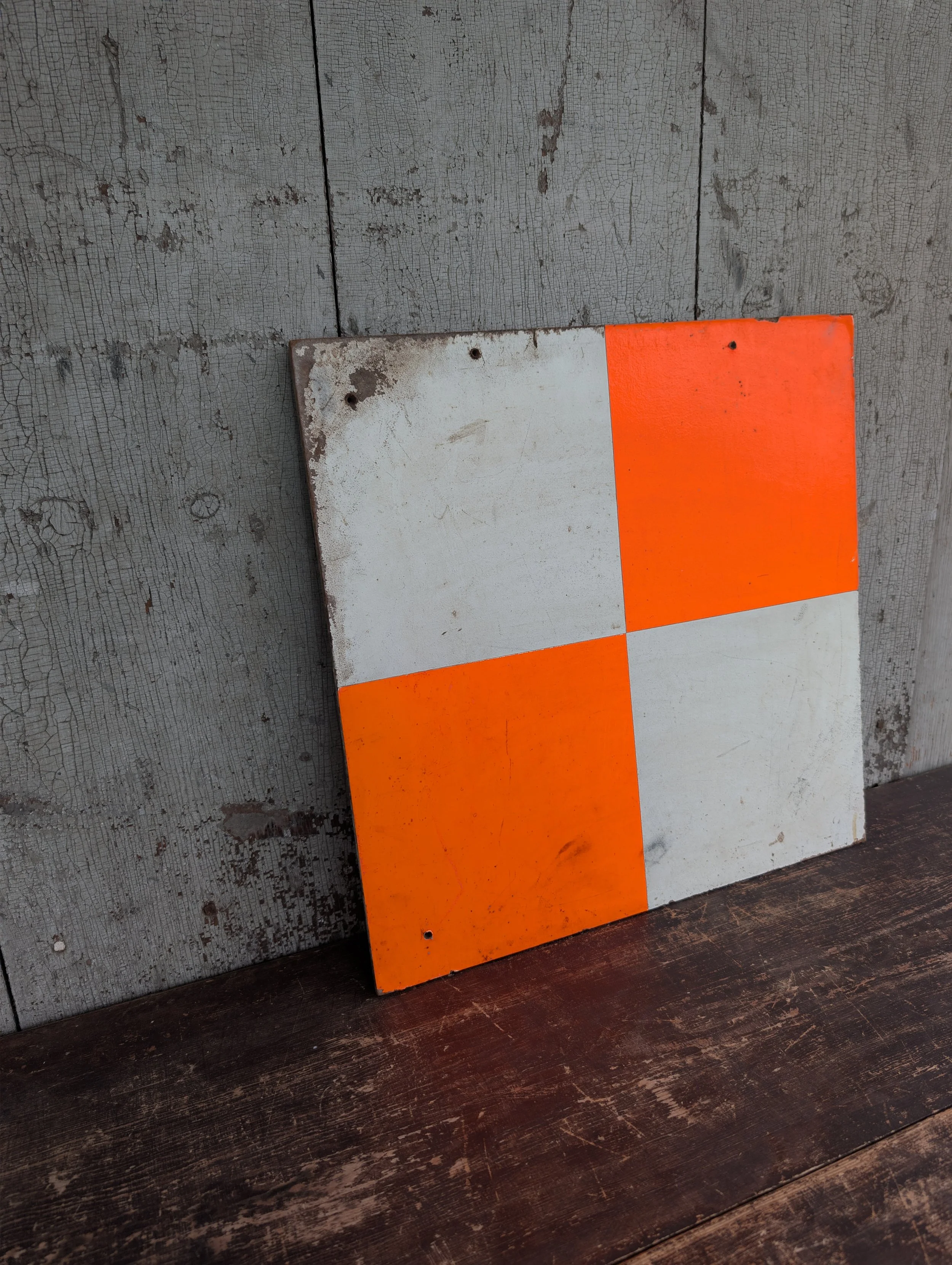 Image 13 of 14
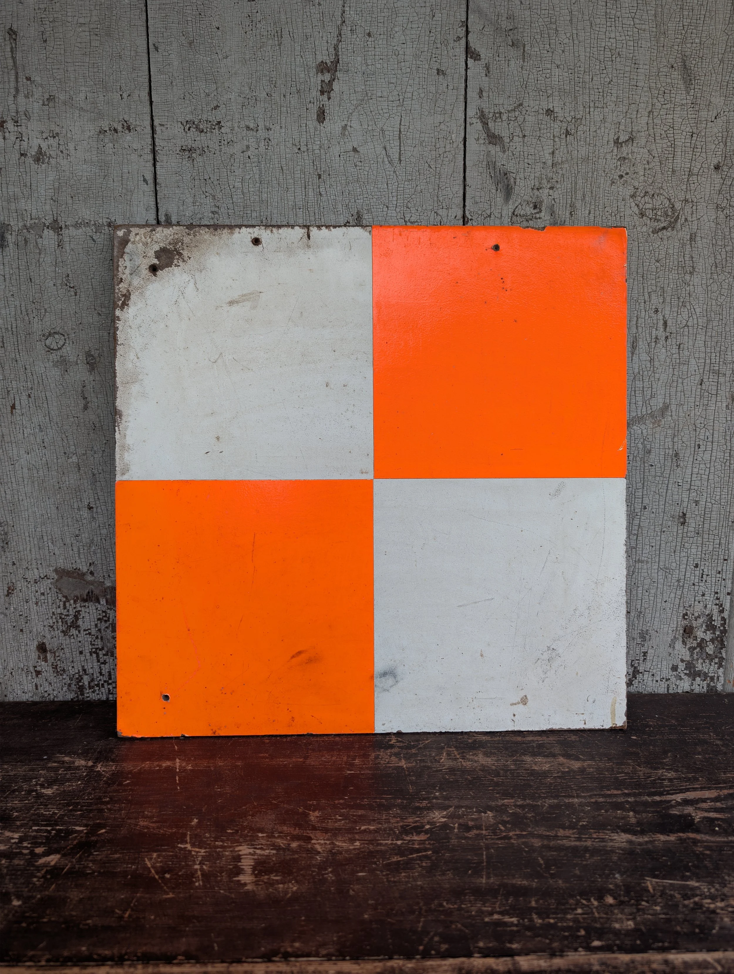 Image 14 of 14